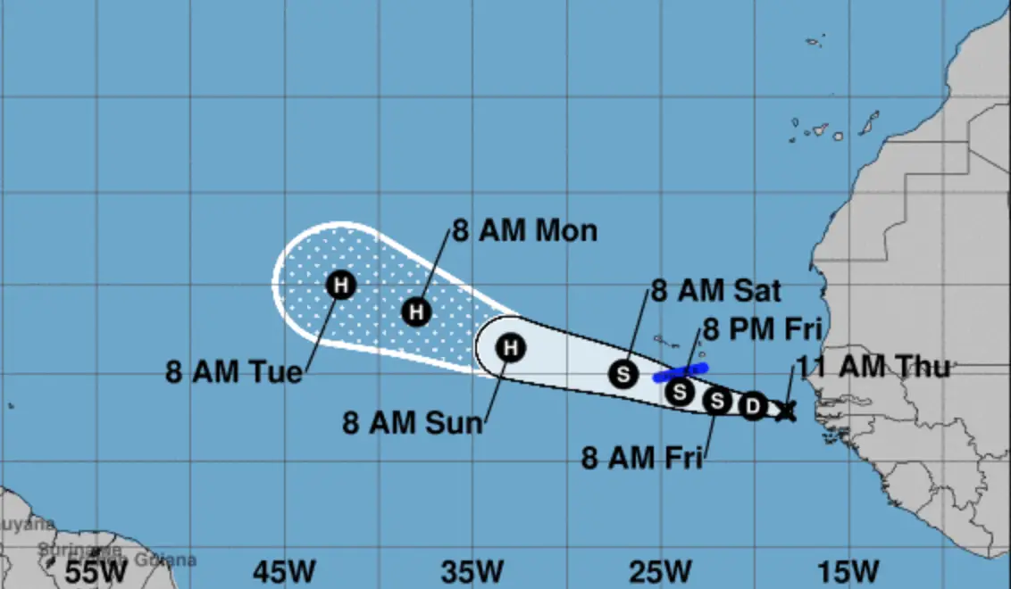
Each day I swing by the National Oceanic and Atmospheric Administration’s (NOAA) National Hurricane Center website. The last couple of days I noticed there was a disturbance developing over the western coast of Africa. That disturbance continues to develop and is now being forecast with a 90% likelihood of turning into a tropical cyclone within the next five days.
From the NOAA’s website:
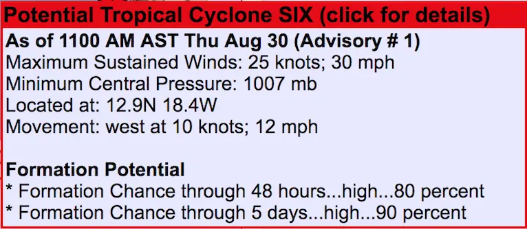
With the anniversary of Hurricane Irma coming up next Thursday, absolutely no one wants to hear there is a tropical storm developing right now. And believe me, I toiled over whether to post this or not. But ultimately, it’s better to get this information out so people know and can ensure they are prepared if this does turn into a hurricane.
Because it’s so early in the development of this system there’s not a lot of information on expected level of intensity or path of the storm as it approaches the Leeward Islands. Here’s a graphic from the NOAA website that appears to show the system turning into a hurricane late Saturday to early Sunday morning.
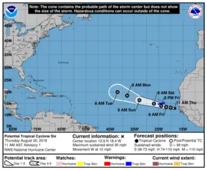
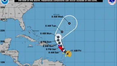
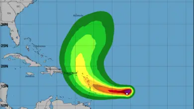
While it appears this forecast has the storm perhaps tracking to the north of the Leeward Islands, it’s still quite early and tropical storms tend to not stay on a straight line. For reference, I pulled the following image of the path of Hurricane Irma from last September to try and get an idea of how that storm tracked.
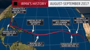
Clearly, the hope here is that this storm either doesn’t intensify or, if it does, it moves well to the north of Saint Martin and all the Leeward Islands. I’ll continue to track this storm and will publish updates daily, or as much as needed.

